Map change - from tile-based Google satellite view to the Maps JavaScript API
An important change has taken place in the platform’s map views: the Google satellite base layer no longer runs on the previous tile-based solution but on the official Maps JavaScript API. For users, the satellite view remains just as available.
The izeltlabuak.hu website primarily focuses on arthropods found in Hungary. This entry also deals with Hungarian fauna.
Why did we have to change?
To align with the regulatory environment of the European Economic Area (EEA), as of 8 July 2025 Google introduced new EEA-specific terms of service. As part of this, use of the Map Tiles API for projects tied to EEA billing accounts has changed: satellite and photorealistic 3D map tiles can no longer be used in such projects. As a result:
- In EEA projects, 2D satellite map tiles were not available—our requests were blocked.
For us, the satellite view stopped working: the tile-based Google satellite layer simply no longer worked, so we had to switch to another solution.
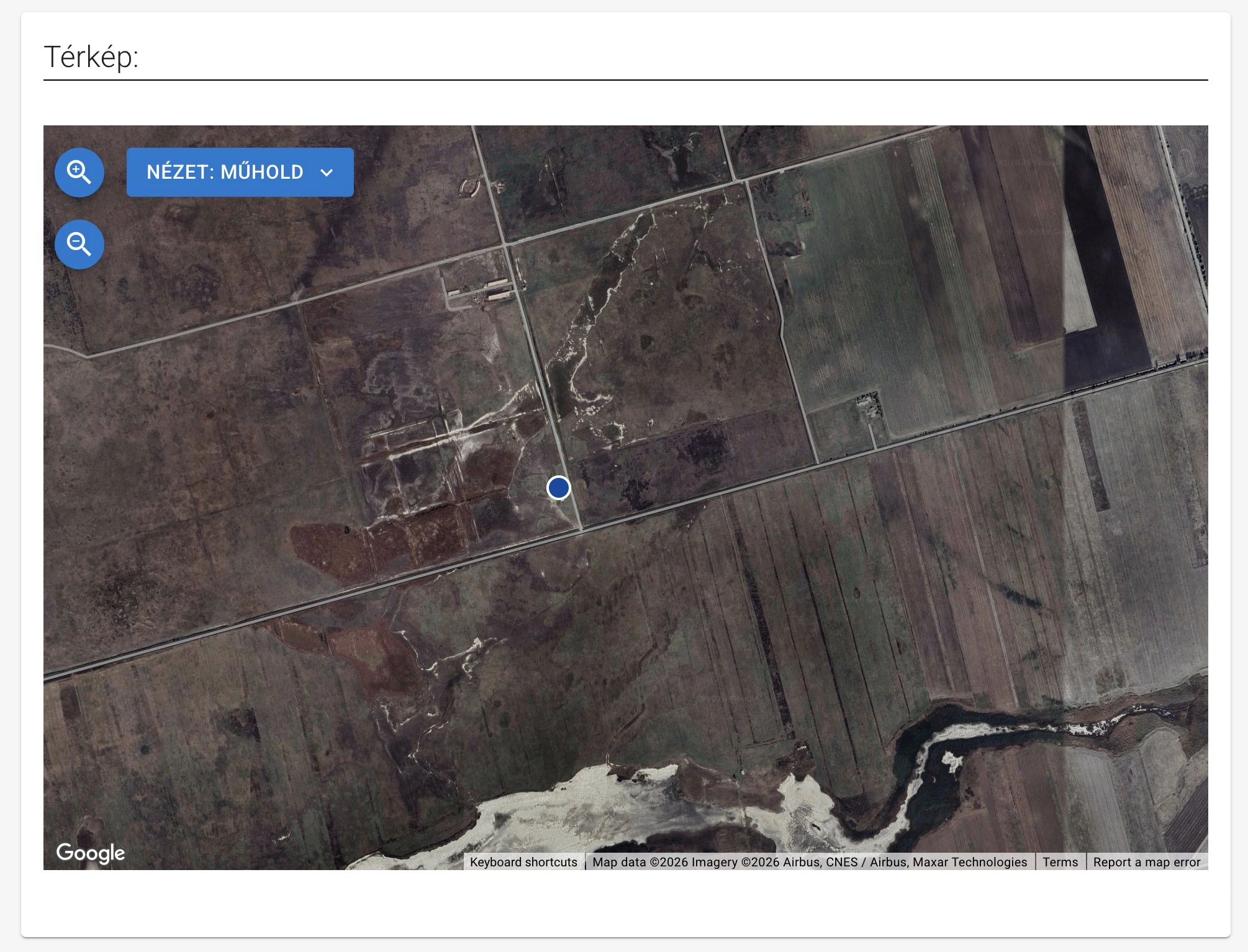
How did we serve it before?
The dynamic map was previously served by an OpenLayers-based engine. For the satellite view we used the Google Map Tiles API tiles. It was exactly this use that became disallowed under EEA rules, so the satellite view was no longer viable in this setup.
The new solution
The new solution is to use the Maps JavaScript API. Here we no longer use a tile API but the Maps JavaScript API with the help of a web development library. According to Google’s documentation, the Maps JavaScript API satellite view is a suitable alternative to the previous 2D satellite map tiles—and this integration complies with EEA rules.
The new map engine provides the same interface as the previous OpenLayers-based one (zoom and centre handling, marker view, marker on click, etc.), so the rest of the functionality is practically unchanged. The difference is under the hood: the satellite imagery now comes from the Maps JavaScript API, not from the Map Tiles API.